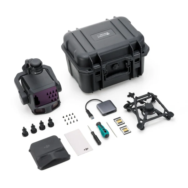
Overview
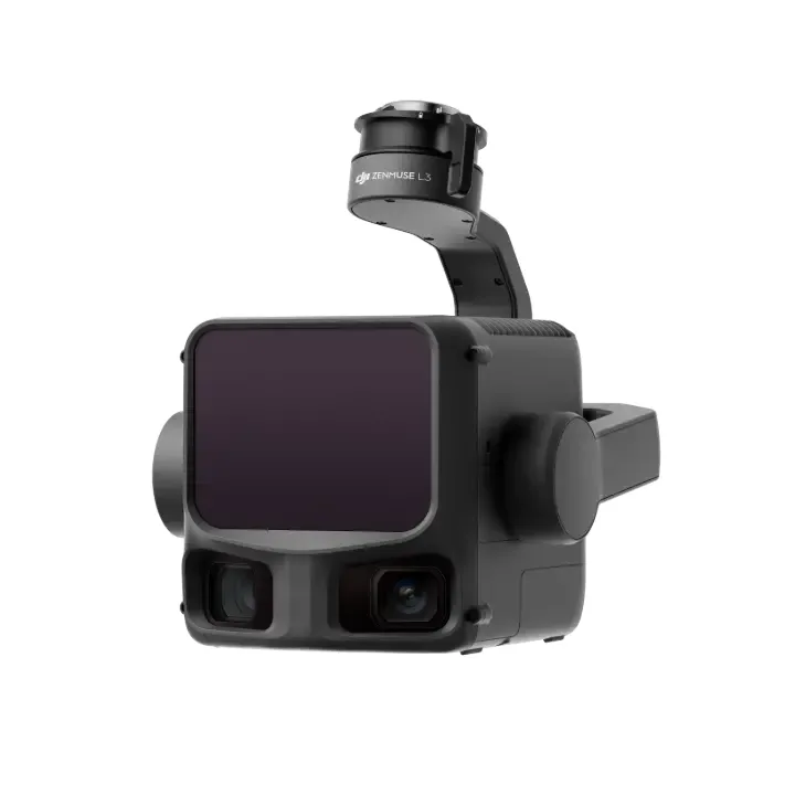
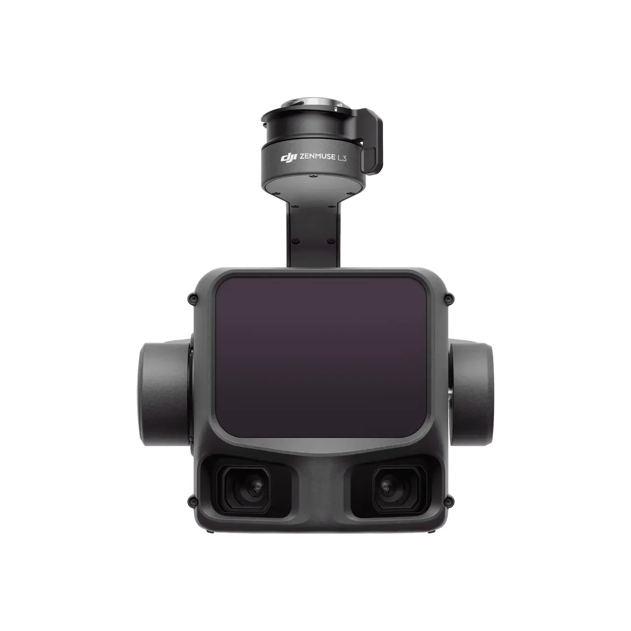
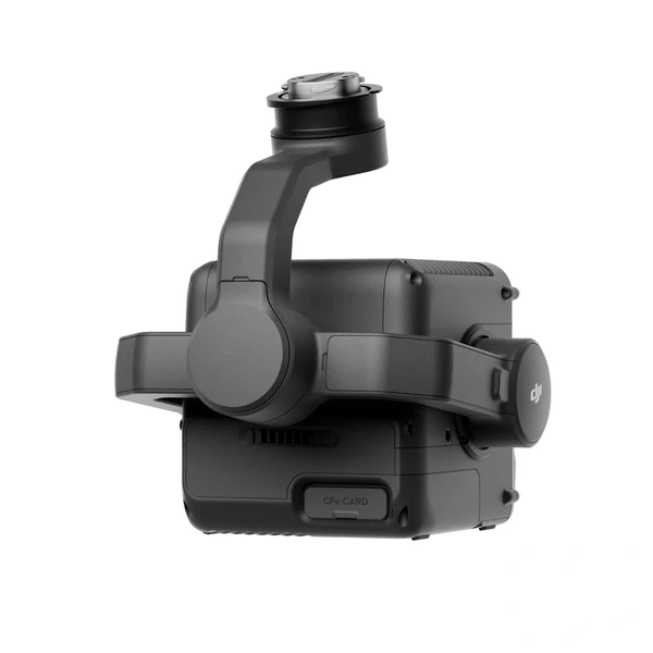
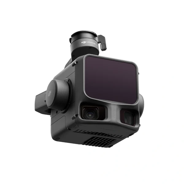
The DJI Zenmuse L3 is a next-generation, long-range aerial LiDAR solution engineered for high-accuracy surveying, mapping, inspection, and geospatial data acquisition. Designed for integration with the DJI Matrice 400, the L3 combines a 1535 nm long-range LiDAR system, a high-precision Position and Orientation System (POS), and dual 100 MP 4/3 CMOS RGB mapping cameras. This advanced sensor suite delivers greater range, improved accuracy, enhanced penetration, and significantly increased mapping efficiency for demanding professional applications.
When paired with DJI Terra, DJI Pilot 2, and the broader DJI Enterprise software ecosystem, the Zenmuse L3 provides an integrated workflow from field data collection through point cloud processing and final deliverables. Its ability to capture highly detailed LiDAR and RGB data in a single flight makes it a powerful solution for large-scale surveying, infrastructure inspection, forestry, emergency response, and other complex geospatial operations.
Key Highlights
- High Precision: Achieves vertical accuracy of 3 cm and horizontal accuracy of 4 cm at a 120 m flight altitude. At 300 m, it maintains vertical accuracy of 5 cm and horizontal accuracy of 7.5 cm.
- Exceptional Efficiency: Capable of covering up to 10 km² per flight or 100 km² per day.
- Long-Range LiDAR: Features a 1535 nm LiDAR system capable of detecting objects at up to 950 m with 10% reflectivity at 100 kHz.
- Superior Penetration: Supports up to 16 returns and features a narrow 0.25 mrad laser beam divergence, helping capture detailed ground information through vegetation and detect smaller features.
- Dual 100 MP RGB Cameras: Two 4/3 CMOS mapping cameras provide a combined horizontal field of view of 107°, to capture a wider area with highly detailed imagery during each flight.
- Versatile Scanning Modes: Linear, Star-Shaped, and Non-Repetitive scanning modes allow operators to optimize data collection for terrain mapping, vegetation penetration, urban environments, transmission infrastructure, and complex structures.
Key Specifications
- Integrated LiDAR System: 1535 nm long-range LiDAR with a maximum laser pulse emission frequency of 2,000 kHz and support for up to 16 returns. Detection range reaches 950 m at 10% reflectivity and 100 kHz, with ranging accuracy of ±10 mm under specified test conditions.
- Position and Orientation System: Features a 200 Hz POS update rate with post-processed attitude accuracy of 0.02° for yaw and 0.01° for pitch and roll. RTK positioning accuracy reaches 1.0 cm + 1 ppm horizontally and 1.5 cm + 1 ppm vertically.
- Dual RGB Mapping Cameras: Equipped with dual 100 MP 4/3 CMOS cameras with mechanical shutters. The combined camera system provides a 107° horizontal FOV and achieves an average 3 cm GSD at a 300 m nadir flight altitude.
- Three Scanning Modes: Supports Linear, Star-Shaped, and Non-Repetitive scanning modes, providing flexibility for high-accuracy terrain mapping, dense vegetation, urban environments, and complex infrastructure.
- Enterprise Integration: Designed for the DJI Matrice 400 and integrates with DJI Pilot 2 for data collection, DJI Terra for processing, DJI Modify for point cloud applications, and DJI FlightHub 2 for cloud-based operations.
- Rugged Design: Features an IP54 protection rating and an operating temperature range of -20°C to 50°C (-4°F to 122°F), supporting professional operations across a wide range of field environments.
Summary
The DJI Zenmuse L3 represents a major advancement in DJI's aerial LiDAR technology, combining long-range detection, high-accuracy positioning, powerful penetration capabilities, and dual 100 MP RGB mapping cameras into a single integrated payload. With a detection range of up to 950 m at 10% reflectivity, support for up to 16 returns, three scanning modes, and highly accurate point cloud generation, the L3 is designed to meet the requirements of demanding professional geospatial workflows.
When paired with the DJI Matrice 400 and DJI's enterprise software ecosystem, the Zenmuse L3 provides an efficient end-to-end solution for large-scale surveying and mapping. Its ability to cover up to 10 km² in a single flight while simultaneously capturing detailed LiDAR and RGB data makes it particularly well suited for applications including topographic surveying, forestry, powerline and infrastructure inspection, emergency response, and environmental mapping. For professionals requiring greater range, accuracy, coverage, and data density, the Zenmuse L3 delivers a comprehensive aerial geospatial solution built for high-efficiency operations.