Drones

Trinity Pro

Next-generation eVTOL fixed-wing mapping drone with 90+ minute flight time and unrivaled sensor options for professional aerial surveying
Related tags:
No items found.
Available Packages
No items found.

Professional-Grade Mapping & Survey Platform

The Trinity Pro represents the evolution of Quantum Systems' proven Trinity platform, incorporating over 75,000 flight hours of global operational experience since 2018. This future-proof mapping solution combines extended endurance with the industry's most comprehensive sensor options.

Flight Performance & Coverage

  • Flight Time: 90+ minutes of continuous operation
  • Area Coverage: Up to 700 hectares in a single flight
  • Linear Corridor: 90-kilometer coverage capability
  • Speed: Maximum 17 meters per second cruise
  • Take-off Weight: 5.75 kg (12.7 lbs) maximum
  • Wingspan: 2.4 meters for optimal efficiency
  • Temperature Range: -12°C to +50°C operational capability

Advanced Autopilot Technology

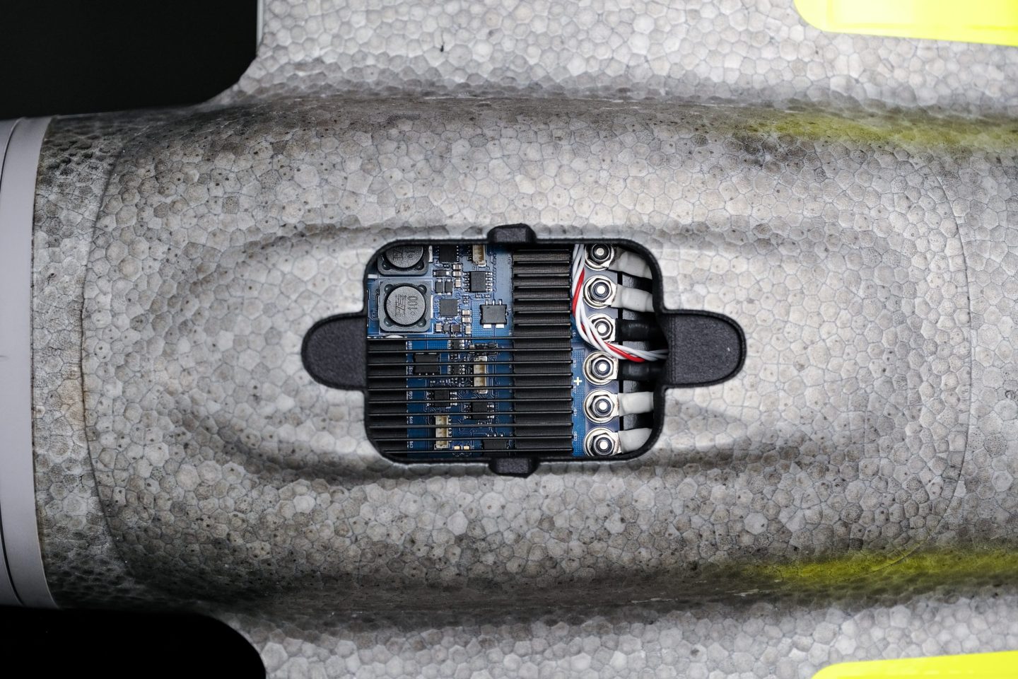
  • Quantum-Skynode Autopilot: Latest generation flight control system
  • Linux Mission Computer: Enhanced onboard computing power
  • AI Capabilities: Intelligent mission execution and decision support
  • Safety Features: Automatic self-diagnostics and terrain awareness
  • Wind Simulation: Pre-flight environmental assessment
  • Smart Return-to-Home: AI-powered emergency recovery

eVTOL Design Advantages

  • Vertical Operations: Take-off and landing in confined spaces
  • No Equipment Required: No runway, catapult, or recovery systems needed
  • Shock-Absorbing Landing: Controlled touchdown on integrated landing gear
  • IP54 Rating: Weather-resistant construction
  • ESC Cooling System: Thermal management for extended operations
  • Quick Assembly: Tool-free setup in minutes

Unrivaled Sensor Options

  • RGB Cameras: High-resolution color imaging
  • Oblique Cameras: Multi-angle capture for 3D modeling
  • Multispectral Sensors: Agricultural and environmental analysis
  • LiDAR Scanner: Survey-grade Qube 640 for precision mapping
  • Quick-Lock Mechanism: Tool-free sensor exchange in seconds
  • Plug-and-Play Integration: Seamless sensor compatibility

Precision & Accuracy

  • PPK/RTK GNSS: L1/L2 receiver for centimeter-level accuracy
  • Ground Sampling Distance: Up to 1 cm GSD resolution
  • Absolute Accuracy: Down to 1 cm with PPK processing
  • Direct Georeferencing: Onboard geotagging of all imagery
  • GCP-Free Mapping: Achieve high accuracy without ground control points

QBase 3D Software Integration

  • Mission Planning: Automated flight path generation
  • 3D Visualization: Terrain-aware mission preview
  • Real-Time Monitoring: Live flight tracking and telemetry
  • Pre-Flight Checks: Comprehensive safety assessments
  • Risk Detection: Automatic hazard identification before take-off
  • Parameter Adjustment: In-flight mission modification capability

Data Processing & Workflow

  • Onboard Processing: Preliminary image stitching during flight
  • Industry Integration: Application-specific software connections
  • Automated Reports: Streamlined post-processing workflows
  • Increased Storage: Enhanced internal data capacity
  • Future-Proof Architecture: Ready for next-generation cameras
  • AI Integration: Machine learning capabilities for data analysis

Communication & Control

  • Encrypted Data Link: 2.2 GHz AES-encrypted connection
  • Remote ID Compliance: Built-in FAA regulation compliance
  • Simple Interface: Clean remote control layout
  • Automatic Operations: Push-button mission execution
  • Emergency Override: Manual control capability when needed
  • Multi-User Support: Simultaneous monitoring capabilities

Modular Design Benefits

  • Easy Maintenance: Quick disassembly for transport and repair
  • Component Replacement: Field-replaceable parts including wings
  • Compact Storage: Efficient packing for deployment
  • Platform Evolution: Upgradeable as technology advances
  • Proven Reliability: 75,000+ flight hours of operational validation

Thank you for your interest. Get a quote today.

Thank you! Your submission has been received!
Oops! Something went wrong while submitting the form.
By clicking “Accept All Cookies”, you agree to the storing of cookies on your device to enhance site navigation, analyze site usage, and assist in our marketing efforts. View our Privacy Policy for more information.