Overview
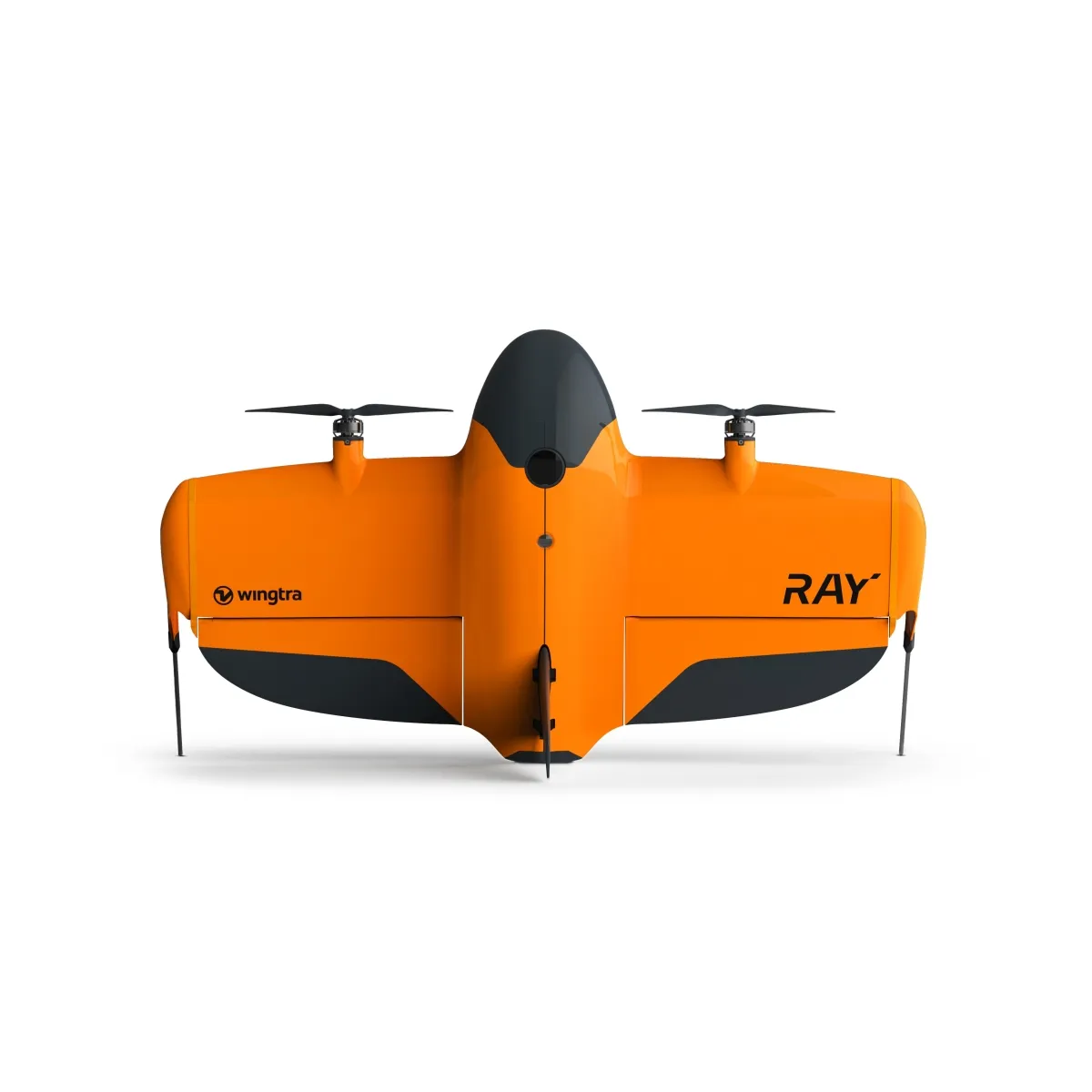
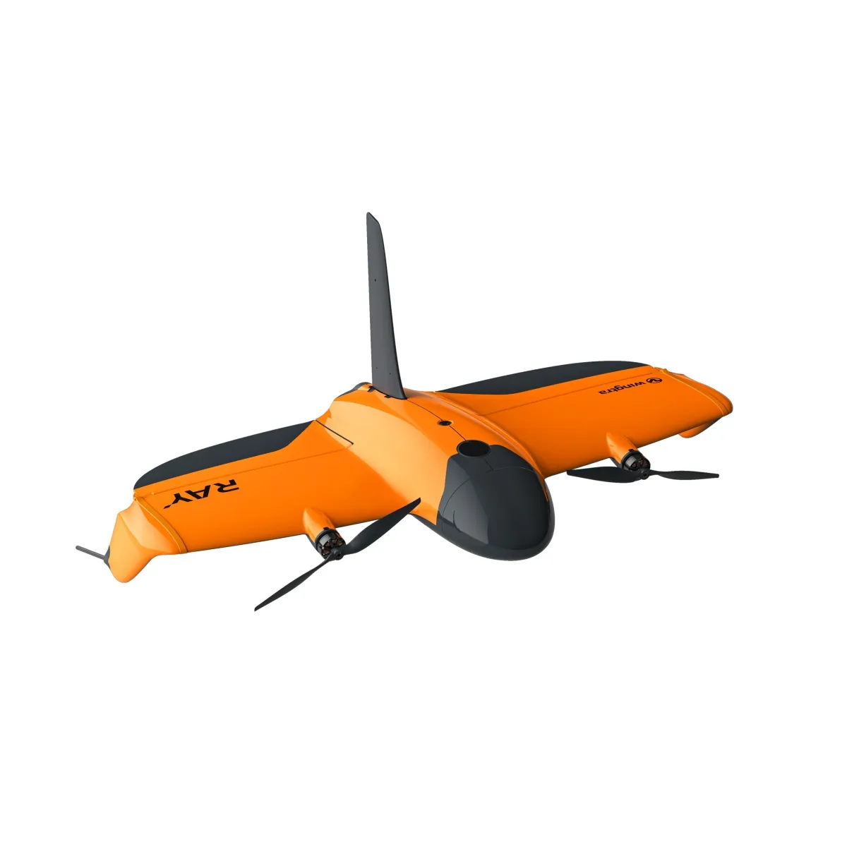
The WingtraRAY is a VTOL mapping drone engineered for high-accuracy, large-scale aerial surveying. Combining vertical takeoff and landing with efficient fixed-wing flight, it delivers up to 59 minutes of flight time, 550 ha (1,360 ac) of coverage per flight, and 3 cm absolute accuracy with PPK, while supporting interchangeable RGB, multispectral, inspection, and LiDAR payloads.
Key Highlights
- High-Accuracy Surveying: Delivers absolute accuracy down to 3 cm (0.1 ft) RMS x, y, z with PPK, supporting survey-grade mapping without requiring GCPs.
- Large-Area Coverage: Covers up to 550 ha (1,360 ac) in a single flight at 120 m using the MAP61 payload.
- 59-Minute Flight Time: Provides a maximum flight time of 59 minutes with supported photogrammetry and multispectral payloads, or up to 45 minutes with LiDAR.
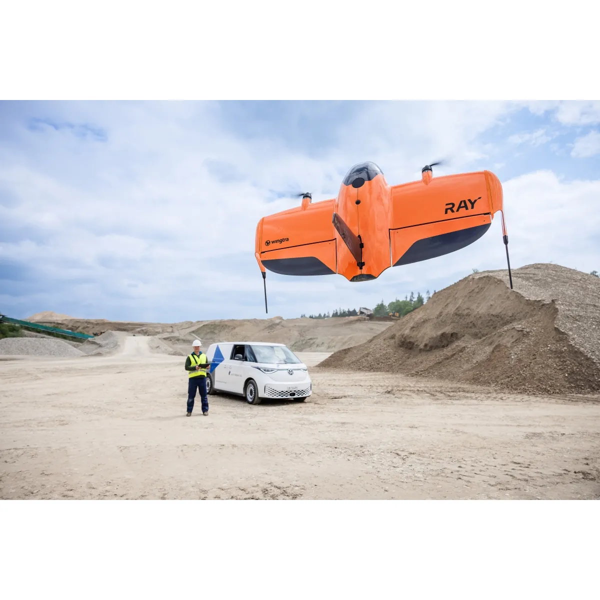
- VTOL Design: Tailsitter vertical takeoff and landing eliminates the need for runways while providing the coverage efficiency of fixed-wing flight.
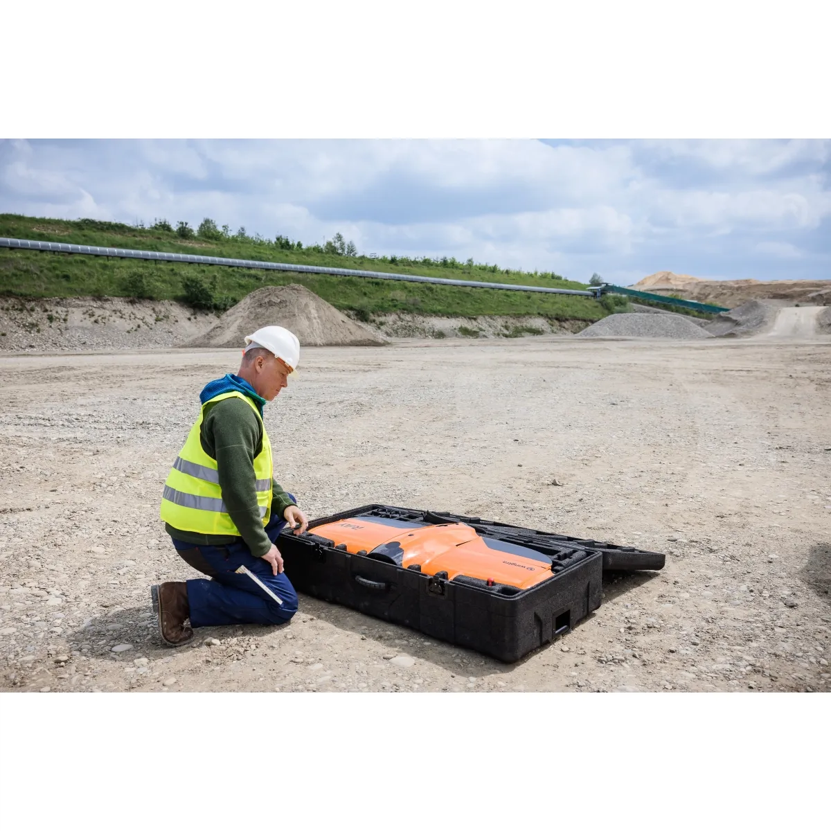
- Interchangeable Payloads: Toolless twist-lock payload swapping supports MAP61, SURVEY61, INSPECT, SURVEY24, RedEdge-P, and LIDAR-M2X sensors for applications ranging from photogrammetry to vegetation mapping and LiDAR surveying.
- 61 MP Imaging Options: MAP61, SURVEY61, and INSPECT payloads feature 61 MP full-frame sensors, with configurations optimized for coverage, survey-grade photogrammetry, 3D mapping, or detailed inspections.
- Wind Resistance: Designed to capture data in sustained winds up to 12 m/s (27 mph) and gusts up to 18 m/s (40 mph).
- Dual Communication Links: Features a primary 2.4 GHz radio link up to 10 km (6 mi) in direct line of sight and a secondary LTE connection with unlimited range within mobile network coverage.
- WingtraCLOUD Integration: Supports an end-to-end workflow for flight planning, automated data capture, PPK processing, map generation, collaboration, and export into CAD and GIS platforms.
Key Specifications
- Drone Type: Tailsitter vertical takeoff and landing (VTOL)
- Maximum Takeoff Weight: 5.2 kg (11.5 lb)
- Payload Capacity: 1,250 g (2.75 lb)
- Wingspan: 125 cm (4.1 ft)
- Dimensions: 125 × 68 × 12 cm (49.2 × 26.8 × 4.8 in), without landing fin
- Battery: Two 99 Wh lithium-polymer smart batteries
- Flight Time: Up to 59 minutes; up to 45 minutes with LiDAR
- Operational Cruise Speed: Adaptive between 16–22 m/s (36–49 mph)
- Maximum Coverage: Up to 550 ha (1,360 ac) per flight at 120 m with MAP61
- Absolute Accuracy: 3 cm (0.1 ft) RMS x, y, z with PPK
- Maximum Sustained Wind: 12 m/s (27 mph)
- Maximum Wind Gusts: 18 m/s (40 mph)
- Radio Link: Up to 10 km (6 mi) direct line of sight
- Secondary Data Link: LTE within mobile network coverage
- Operating Temperature: -10°C to 40°C (14°F to 104°F)
- Weather Rating: IP53; flight in fog, rain, and snow is not recommended
- Maximum Takeoff Altitude: 4,800 m (15,700 ft) AMSL with high-altitude drivetrains
- Maximum Flight Altitude: 5,000 m (16,400 ft) AMSL with high-altitude drivetrains
- Auto-Landing Accuracy: <2 m (<7 ft)
- GNSS: Redundant GPS, GLONASS, Galileo, and BeiDou
- PPK: High-precision GNSS with centimeter-level PPK capabilities
Summary
The WingtraRAY combines VTOL flexibility, fixed-wing efficiency, survey-grade accuracy, and interchangeable sensors in a platform built for professional aerial mapping. With up to 59 minutes of flight time, 550 ha (1,360 ac) coverage per flight, 3 cm PPK accuracy, and support for RGB, multispectral, inspection, and LiDAR payloads, it provides a versatile solution for surveying, construction, mining, infrastructure, environmental mapping, and other large-scale geospatial applications.